
Atlantic bluefin tuna tracking
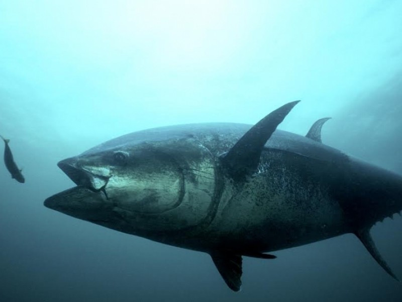
 Pop-up satellite archival tags were implanted into 68 Atlantic bluefin tuna (Thunnus thynnus Linnaeus), ranging in size from 91 to 295kg, in the southern Gulf of Maine (n=67) and off the coast of North Carolina (n=1) between July 2002 and January 2003. Individuals tagged in the Gulf of Maine left that area in late fall and overwintered in northern shelf waters, off the coasts of Virginia and North Carolina, or in offshore waters of the northwestern Atlantic Ocean. In spring, the fish moved either northwards towards the Gulf of Maine or offshore. None of the fish crossed the 45W management line (separating eastern and western management units) and none traveled towards the Gulf of Mexico or the Straits of Florida (known western Atlantic spawning grounds). The greatest depth recorded was 672m and the fish experienced temperatures ranging from 3.4 to 28.7C. Swimming depth was significantly correlated with location, season, size class, time of day, and moon phase. There was also evidence of synchronous vertical behavior and changes in depth distribution in relation to oceanographic features.

